22件中 1~10件 (日付順)
査読付論文
Science of The Total Environment所収
著者:
Yin
Peiyi
Li
Xuecao
Mao
Jiafu
Wang
Bingyu
Huang
Jianxi
The response of land surface phenology (LSP) to the urban heat island effect (UHI) is a useful biological indicator for understanding how vegetated ecosystems will be affected by future climate warming. However, vegetation cover in rural areas is often dominated by cultivated land, whose phenological timing is considerably influenced by...
ブックチャプター
Blue-Green Infrastructure across Asian Countries: Improving Urban Resilience and Sustainability所収
著者:
Chien
Herlin
Fukushi
Kensuke
With the mounting pressure of urbanization, how innovative blue-green infrastructure (BGI) can restore the ecosystem services of urban rivers is a timely issue for any densely populated city seeking to improve its resilience and sustainability through ecosystem-based solutions. Yet, the implementation of BGI is not hazard-free. Its success usually...
査読付論文
Remote Sensing所収
著者:
Jozdani
Shahab
Chen
Dongmei
Chen
Wenjun
Leblanc
Sylvain
Lovitt
Julie
He
Liming
Fraser
Robert
Illumination variations in non-atmospherically corrected high-resolution satellite (HRS) images acquired at different dates/times/locations pose a major challenge for large-area environmental mapping and monitoring. This problem is exacerbated in cases where a classification model is trained only on one image (and often limited training data) but...
査読付論文
Remote Sensing所収
著者:
Jozdani
Shahab
Chen
Dongmei
Chen
Wenjun
Leblanc
Sylvain
Prévost
Christian
Lovitt
Julie
He
Liming
Lichen is an important food source for caribou in Canada. Lichen mapping using remote sensing (RS) images could be a challenging task, however, as lichens generally appear in unevenly distributed, small patches, and could resemble surficial features. Moreover, collecting lichen labeled data (reference data) is expensive, which restricts the...
査読付論文
Remote Sensing所収
著者:
Jozdani
Shahab
Chen
Dongmei
With the advent of high-spatial resolution (HSR) satellite imagery, urban land use/land cover (LULC) mapping has become one of the most popular applications in remote sensing. Due to the importance of context information (e.g., size/shape/texture) for classifying urban LULC features, Geographic Object-Based Image Analysis (GEOBIA) techniques are...
ブック
著者:
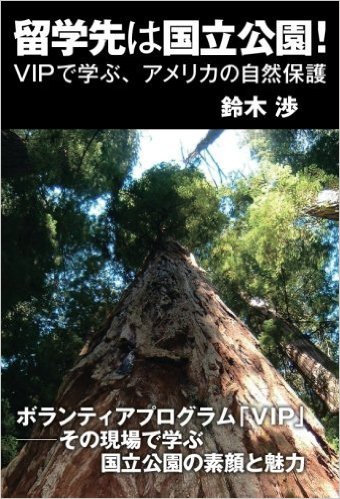
日本の「レンジャー」が体験したアメリカの国立公園での長期滞在ボランティア。それは、それまでの“アメリカの国立公園”観を覆す衝撃的な体験だった。国立公園到着の翌日から始まった体当たりのフィールドワーク、2度のアメリカ横断。2つの国立公園での長期研修と首都ワシントンでの内務省魚類野生生物局での実務研修を通じてようやく理解できたアメリカの自然保護政策とは!? ボランティアの活用、モニタリング調査、イメージ戦略など、国立公園を訪れただけではわからない舞台裏を、日米の国立公園と国立野生生物保護区の比較しながら描き出す。国立公園ボランティアへの応募や国立公園での生活の様子などもまじえながら、アメリカの国立公園でのボランティアの役割や活躍の様子なども紹介。なお...
査読付論文
ISPRS International Journal of Geo-Information所収
A new method was developed for mapping forest, agricultural, and urban land cover using remote sensing imagery. It is designed to better detect small land cover objects (e.g. small forest or agricultural patches) and monitor their change (e.g. fine-scale deforestation) using freely-available satellite imagery.
ディスカッションペーパー
編者:
Th is report was developed by Friends of the Earth Japan (FoE Japan) and the Institute for Global Environmental Strategies (IGES) with updated case studies as an English-language version of the Japanese report “Yori sukunai shigen de yori yutakana kurashi wo (A Richer Life with Fewer Resources),” published by FoE Japan in March 2013. This report...
プレゼンテーション
Meeting of the Japan-US Sustainable Transition Network
At the meeting of the Japan-US Sustainable Transitioin Network funded by the Center for Global Partnership, The Japan Foundation Grant Program: Japan-US Global Partnership, Hotta made a presentation on IGES research relevant to sustainable transition and sustainble lifestyles. The meeting was held at Mita Campus of Keo University and participated...
委託報告書
TPP協定「環境章」において、各国による違法伐採の抑止に働く行政措置の強化が規定されるとともに、日EU・EPAの「貿易と持続可能な開発章」においても、各国が違法伐採及び関連する貿易への対処に貢献することが規定されている。これらに対応するために、我が国の違法伐採木材への対策として平成29年5月に施行された「合法伐採木材等の流通及び利用の促進に関する法律」(通称「クリーンウッド法」。以下「クリーンウッド法」という。)を着実に運用していく必要がある。 本事業は、林野庁ホームページ「クリーンウッド・ナビ」に掲載されている生産国リスク情報を、木材関連事業者等の利用者がより活用しやすくするための検討及び情報の整理を行うことを目的とした。具体的には、①リスク情報に基づく基本的な合法性確認(デュー...