

177件中 91~100件目を表示中 (日付順)
査読付論文
Land所収
In this study, we measured and characterized the relative dielectric constant of mineral soils over the 0.3–3.0 frequency range, and compared our measurements with values of three dielectric constant simulation models (the Wang, Dobson, and Mironov models). The interrelationship between land cover and soil texture with respect to the dielectric...
査読付論文
ISPRS Journal of Photogrammetry and Remote Sensing所収
Green fractional vegetation cover (fc) is an important phenotypic factor in the fields of agriculture, forestry, and ecology. Spatially explicit monitoring of fc via relative vegetation abundance (RA) algorithms, especially those based on scaled maximum/minimum vegetation index (VI) values, has been widely investigated in remote sensing research...
査読付論文
International Journal of Environmental Research and Public Health所収
Just a few decades ago, Adyar River in India’s city of Chennai was an important source of water for various uses. Due to local and global changes (e.g., population growth and climate change), its ecosystem and overall water quality, including its aesthetic value, has deteriorated, and the water has become unsuitable for commercial uses. Adverse...
査読付論文
Remote Sensing所収
Local climate zone (LCZ) maps are increasingly being used to help understand and model the urban microclimate, but traditional land use/land cover map (LULC) accuracy assessment approaches do not convey the accuracy at which LCZ maps depict the local thermal environment. 17 types of LCZs exist, each having unique physical characteristics that...
査読付論文
環境科学会誌所収
Although greenery in urban areas has many functions, such as mitigation of the urban heat island effect, and reduction of rainfall-induced surface runoff, it is difficult to secure the space required to plant trees in cities, which are crowded with buildings. Therefore, rooftop greening has attracted attention and many cities are adopting and...
査読付論文

Proceedings of the International Cartographic Association所収
Parks and other public green spaces (hereafter “urban green spaces”) provide many benefits to urban dwellers, but some residents receive few benefits due to a lack of urban green spaces nearby their home/workplace. Understanding spatial variations in urban green space accessibility is thus important for urban planning. As a case study, here we...
査読付論文

Proceedings of the International Cartographic Association所収
OpenStreetMap (OSM) has become one of the largest sources of volunteered geographic information (VGI), and the data is now used for a wide range of applications. A massively popular augmented reality game, Pokémon GO, recently adopted OSM data for its in-game map and many of its in-game mechanics. This study investigated: (1) How Pokémon GO...
査読付論文

Remote Sensing所収
With the advent of high-spatial resolution (HSR) satellite imagery, urban land use/land cover (LULC) mapping has become one of the most popular applications in remote sensing. Due to the importance of context information (e.g., size/shape/texture) for classifying urban LULC features, Geographic Object-Based Image Analysis (GEOBIA) techniques are...
査読付論文
ISPRS Journal of Photogrammetry and Remote Sensing所収
Deep learning (DL) algorithms have seen a massive rise in popularity for remote-sensing image analysis over the past few years. In this study, the major DL concepts pertinent to remote-sensing are introduced, and more than 200 publications in this field, most of which were published during the last two years, are reviewed and analyzed. Initially, a...
ブック
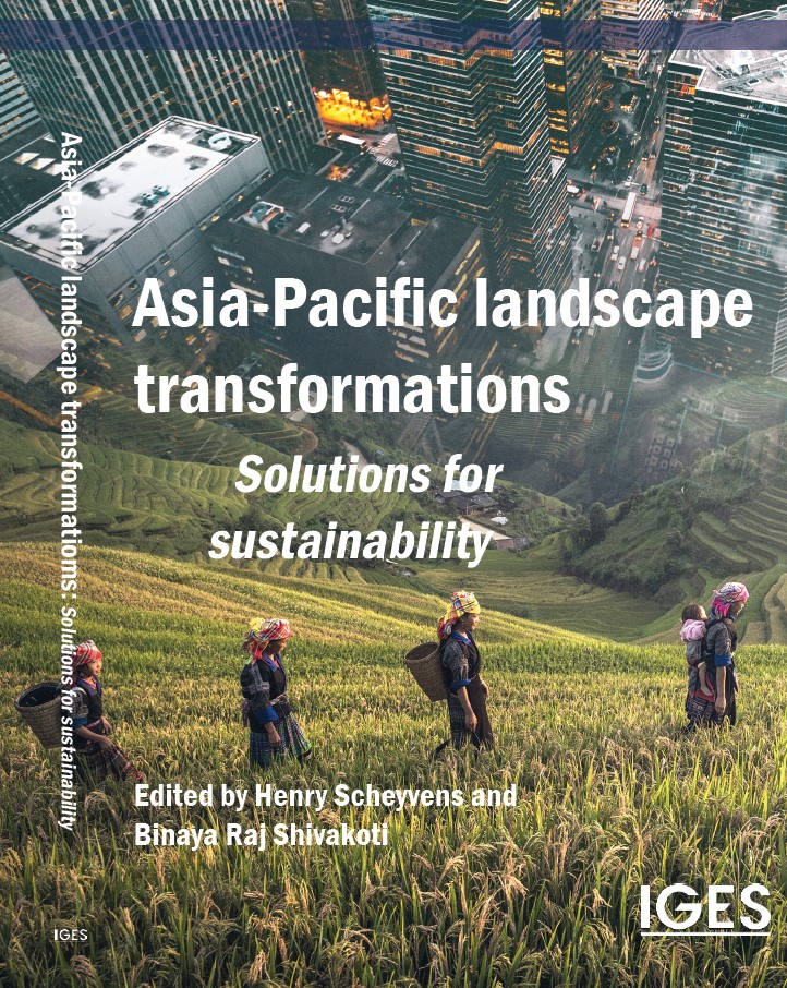
The Asia-Pacific region faces a fundamental dilemma. Over recent decades the region has achieved tremendous economic growth that has lifted millions of its people out of poverty and raised living standards, but in many places the way land is being used to generate this growth is unsustainable. Land has been exploited – growing economies regardless...
2件中 1~2件目を表示中 (日付順)
プロジェクト

Updated: 2025年3月
環境研究総合推進費1CN-2206(2022~2024年度) ASEANにおけるネットゼロかつレジリエントな社会実現に向けた国家の緩和適応統合長期ロードマップに関する研究
IGESでは、ASEAN気候ビジョン2050が示すネットゼロかつレジリエントなASEAN共同体の構築に向けて、ASEAN主要4カ国(インドネシア、フィリピン、タイ、ベトナム)を対象とする、緩和・適応を統合的に推進する長期ロードマップ策定に関する研究を実施しています(環境研究総合推進費1CN-2206:2022年4月~2025年3月)。 本研究事業の成果は、国家の長期戦略(LTS)、国が決定する貢献(NDC)、国家適応計画(NAP)、セクター別計画、開発計画等をはじめ...
プロジェクト
Updated: 2026年7月
ASEAN気候変動戦略行動計画 2025-2030プロジェクト
ASEAN気候変動戦略行動計画(The ASEAN Climate Change Strategic Action Plan:ACCSAP)2025-2030は、2030年までの、ASEANにおける気候変動ロードマップです。 IGESは、2021年にASEAN地域の気候変動の状況を、はじめて統合的にまとめたレポートととして「ASEAN State of Climate Change Report(ASCCR)」の作成に貢献しました。ACCSAPはこのASCCRで特定された優先順位の高い行動を...