4件中 1~4件 (日付順)
データ/ツール
IGES Joint Crediting Mechanism (JCM) Database provides detailed information on the JCM methodologies, projects, and JCM feasibility studies to be utilized for research and development of JCM project. The JCM is being implemented under bilateral cooperation between Japan and 29 partner countries: Mongolia, Bangladesh, Ethiopia, Kenya, Maldives, Viet...
プロシーディングス
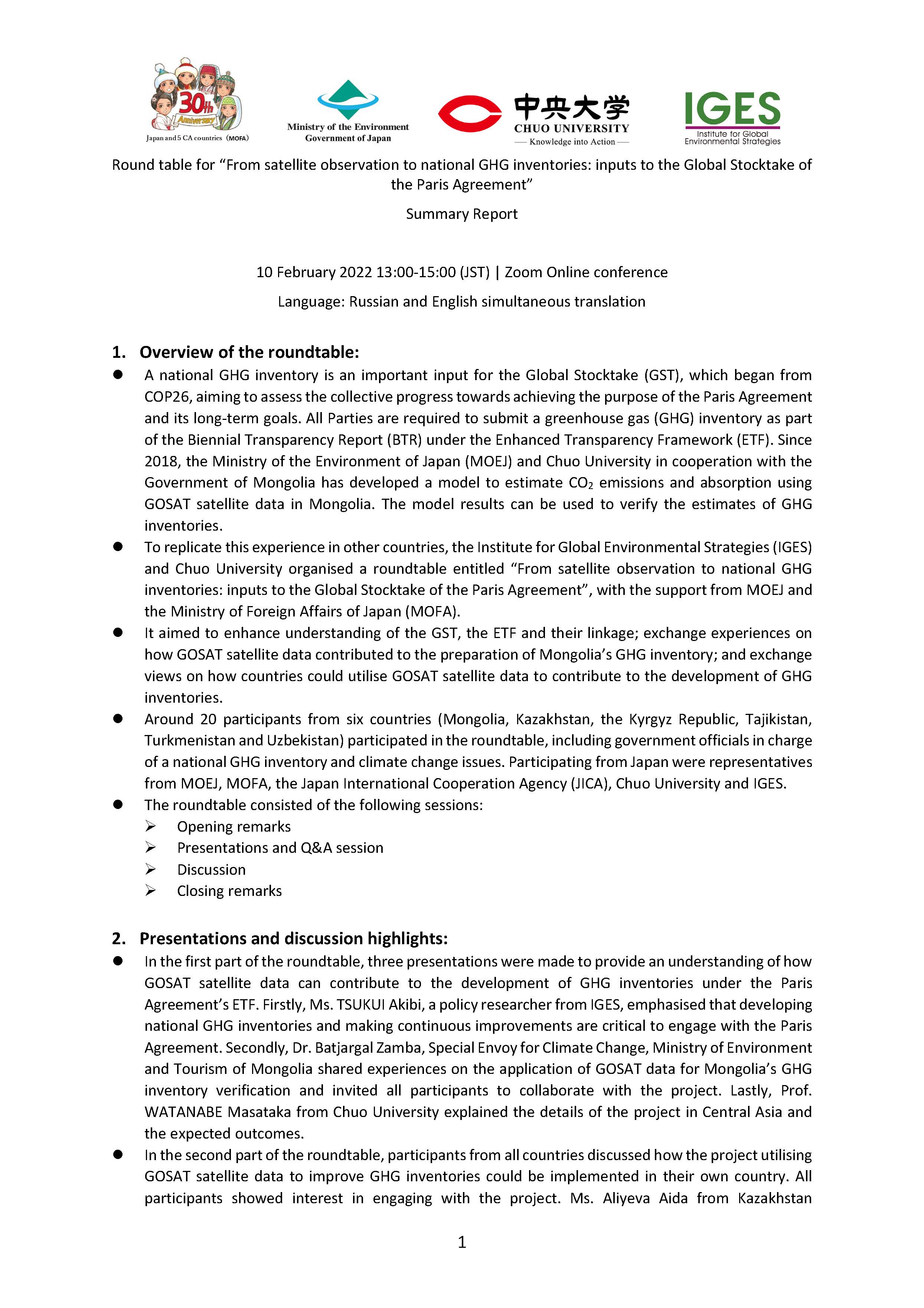
Round table for “From satellite observation to national GHG inventories: inputs to the Global Stocktake of the Paris Agreement”
A national GHG inventory is an important input for the Global Stocktake (GST), which began from COP26, aiming to assess the collective progress towards achieving the purpose of the Paris Agreement and its long-term goals. All Parties are required to submit a greenhouse gas (GHG) inventory as part of the Biennial Transparency Report (BTR) under the...
プレゼンテーション
Round table for “From satellite observation to national GHG inventories: inputs to the Global Stocktake of the Paris Agreement”
This was presented at a roundtable entitled “From satellite observation to national GHG inventories: inputs to the Global Stocktake of the Paris Agreement” on February 2022. A national GHG inventory is an essential input for the Global Stocktake (GST), which began from COP26, aiming to assess the collective progress towards achieving the purpose of...
査読付論文
Remote Sensing所収
著者:
Georganos
Stefanos
Grippa
Tais
Lennert
Moritz
Wolff
Eléonore
To classify Very-High-Resolution (VHR) imagery, Geographic Object Based Image Analysis (GEOBIA) is the most popular method used to produce high quality Land-Use/Land-Cover maps. A crucial step in GEOBIA is the appropriate parametrization of the segmentation algorithm prior to the classification. However, little effort has been made to automatically...