Results 1 - 10 of 42 (Sorted by date)
Peer-reviewed Article
In International Journal of Applied Earth Observation and Geoinformation
Author:
Damasa B.
Magcale-Macandog
Ronald C.
Estoque
Masato
Hayashi
Takeo
Tadono
National monitoring of forests is essential for tracking progress towards various global environmental goals, including those of the Kunming-Montreal Global Biodiversity Framework and the Paris Agreement. Inconsistent national definitions of “forest”, however, can complicate the tracking of global progress towards achieving these goals. The FAO’s...
Data or Tool
IGES Joint Crediting Mechanism (JCM) Database provides detailed information on the JCM methodologies, projects, and JCM feasibility studies to be utilized for research and development of JCM project. The JCM is being implemented under bilateral cooperation between Japan and 29 partner countries: Mongolia, Bangladesh, Ethiopia, Kenya, Maldives, Viet...
Peer-reviewed Article
In Water
Author:
Due to the cumulative effects of rapid urbanization, population growth and climate change, many inland and coastal water bodies around the world are experiencing severe water pollution. To help make land-use and climate change adaptation policies more effective at a local scale, this study used a combination of participatory approaches and computer...
Peer-reviewed Article
In Waste Management
Author:
Albert
Altarejos Magalang
Eligio
T. Ildefonso
Maria
Delia Cristina M. Valdez
Liz
C. Silva
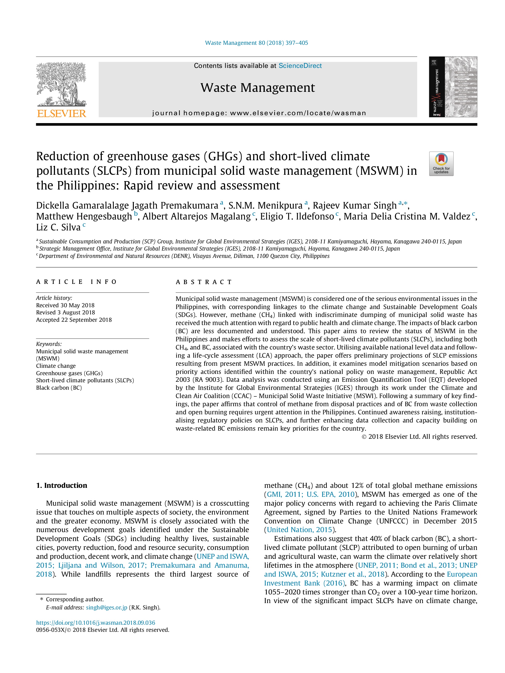
Municipal solid waste management (MSWM) is considered one of the serious environmental issues in the Philippines, with corresponding linkages to the climate change and Sustainable Development Goals (SDGs). However, methane (CH4) linked with indiscriminate dumping of municipal solid waste has received the much attention with regard to public health...
Peer-reviewed Article
In Sustainable Cities and Society
Author:
Damasa B.
Magcale-Macandog
Milben A.
Bragais
Paula B
Macandog
Literature suggests a significant potential for synergies among climate change adaptation and mitigation (CCA & M) policies, especially in urban areas. However, the understanding of how best to integrate CCA &M is limited despite the fact that there is an increasing interest, particularly in Southeast Asian countries, in achieving the integration...
Peer-reviewed Article
In Applied Geography
Author:
Kotaro
IIZUKA
We use crowdsourced GIS data from OpenStreetMap to help automate the mapping of land cover in Landsat satellite imagery. The OpenStreetMap data had limited area coverage, but was useful for building a model which could classify land cover in the other areas.
Peer-reviewed Article
In ISPRS International Journal of Geo-Information
Author:
Milben
BRAGAIS
MAGCALE-MACANDOG Damasa
MACANDOG Paula Beatrice
We developed a method for mapping residential areas using freely available satellite imagery. The resultant residential area map can be used for risk assessment (e.g. to estimate the population living in a flood-prone area). Our method can be applied for flood risk assessment in other watersheds in the future.
Data or Tool
This dataset contains GIS maps (.shp files) of built-up/urban land in the Philippines in 2018 (current) and 2050 (future), considering low/medium/high future urban expansion scenarios. The 2050 urban area maps were generated using a cellular automata logistic regression model, which was applied to historical urban area maps and other openly...
Submission to Policy Process
Author:
Voltaire
ACOSTA
Maria Delia Cristina M.
VALDEZ
Liz
SILVA
Crispian
LAO
Albert A.
MAGALANG
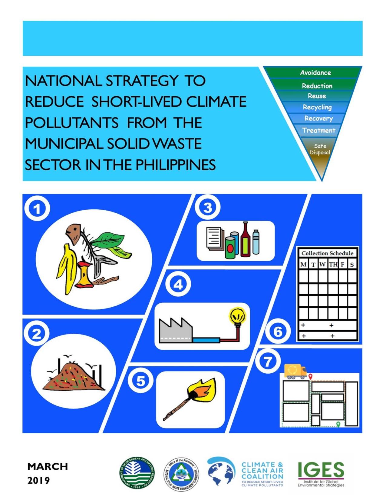
The National Strategy to Reduce Short-Lived Climate Pollutants from the Municipal Solid Waste Sector in the Philippines was developed through a multi-stakeholder consultation process led by the Department of Environmental and Natural Resources (DENR) through its Environmental Management Bureau’s (EMB) Climate Change Division (CCD) and Solid Waste...