Results 1 - 10 of 10 (Sorted by date)
Peer-reviewed Article
In Sustainability
Author:
Chrismas
Uchiyama
Kaoru
Ichikawa
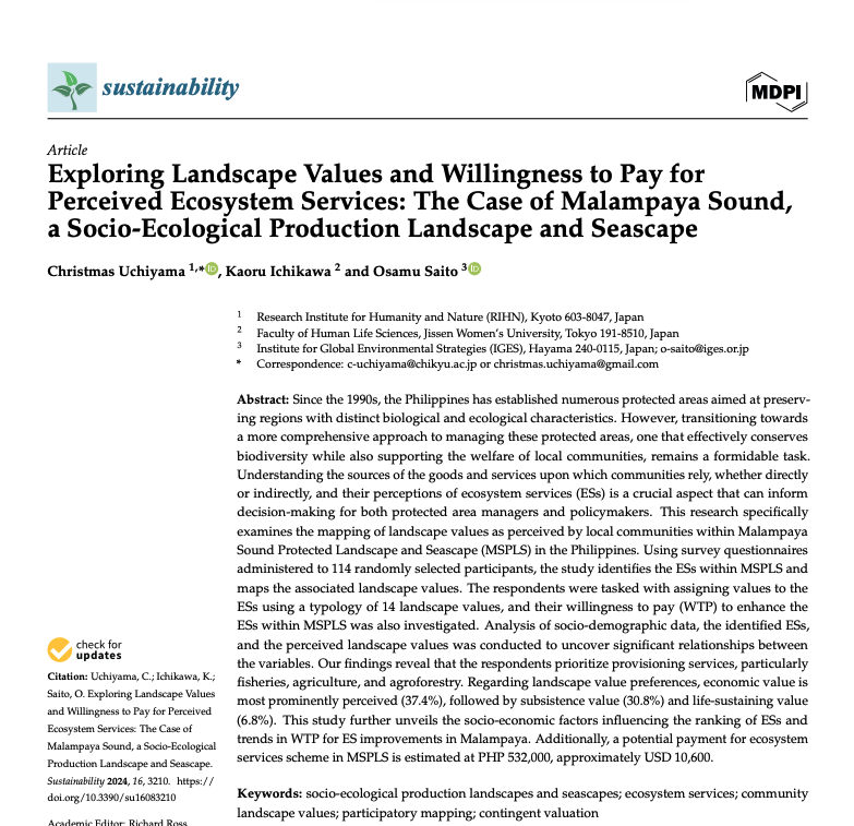
Since the 1990s, the Philippines has established numerous protected areas aimed at preserving re-gions with distinct biological and ecological characteristics. However, transitioning towards a more comprehensive approach to managing these protected areas, one that effectively conserves biodiversity while also supporting the welfare of local...
Peer-reviewed Article
In International Journal of Applied Earth Observation and Geoinformation
Author:
Damasa B.
Magcale-Macandog
Ronald C.
Estoque
Masato
Hayashi
Takeo
Tadono
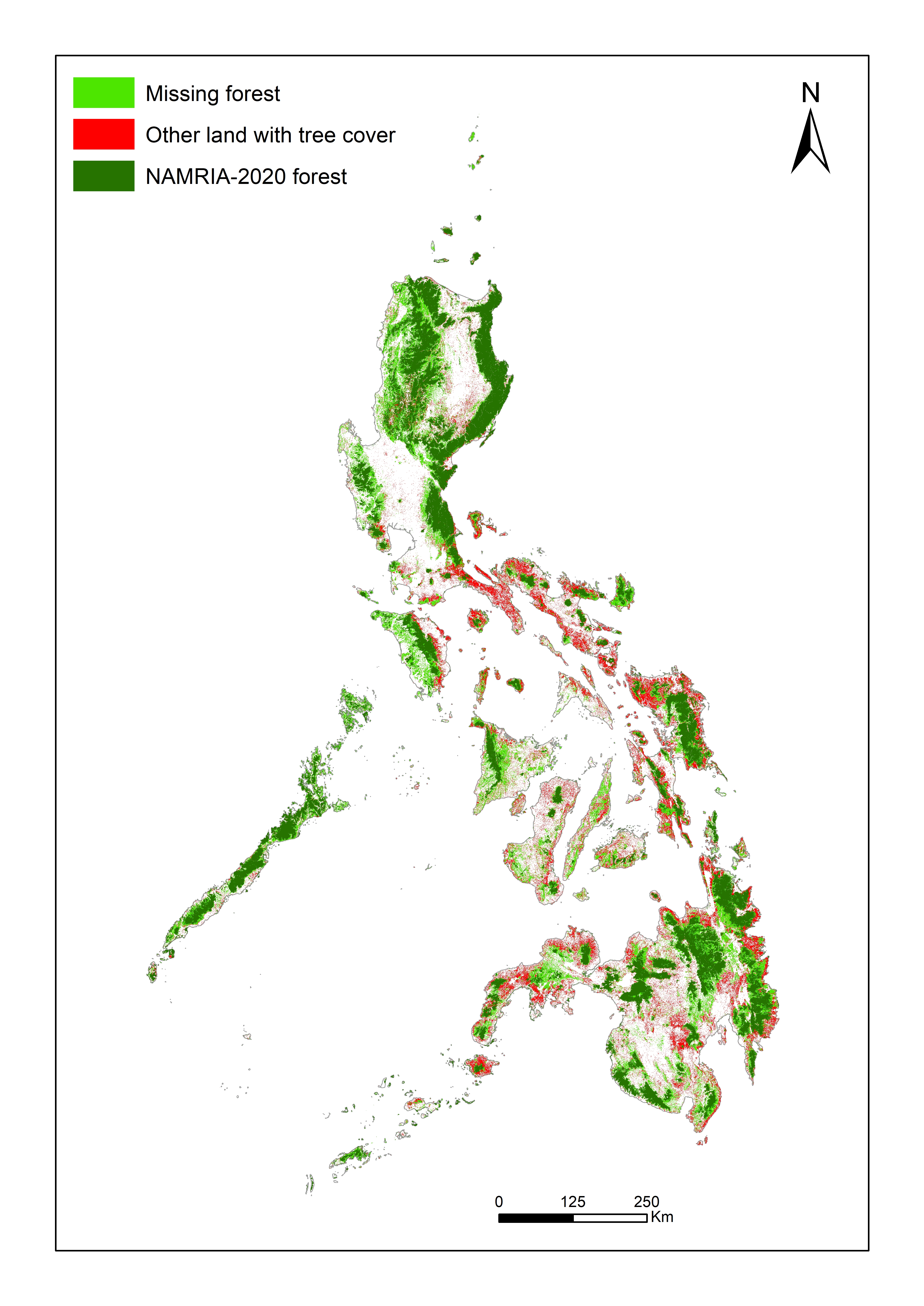
National monitoring of forests is essential for tracking progress towards various global environmental goals, including those of the Kunming-Montreal Global Biodiversity Framework and the Paris Agreement. Inconsistent national definitions of “forest”, however, can complicate the tracking of global progress towards achieving these goals. The FAO’s...
Research Report
Author:
Adcharaporn
Pagdee
Canesio D
Predo
Cossey K.
Yosi
Stewart
Serawe
Mark
Mameek Winai
Isao
Endo
Although it is widely acknowledged that forests provide critical ecosystem services for human survival and well-being, in the Asia-Pacific region forests are being converted to other land uses and degraded at alarming rates. One underlying factor for this destruction of forests is market failure. Forests are cleared for other land uses or degraded...
Peer-reviewed Article
In Remote Sensing
Author:
Stefanos
Georganos
Tais
Grippa
Moritz
Lennert
Eléonore
Wolff
To classify Very-High-Resolution (VHR) imagery, Geographic Object Based Image Analysis (GEOBIA) is the most popular method used to produce high quality Land-Use/Land-Cover maps. A crucial step in GEOBIA is the appropriate parametrization of the segmentation algorithm prior to the classification. However, little effort has been made to automatically...
Peer-reviewed Article
In Sustainable Cities and Society
Author:
Damasa B.
Magcale-Macandog
Milben A.
Bragais
Paula B
Macandog
Literature suggests a significant potential for synergies among climate change adaptation and mitigation (CCA & M) policies, especially in urban areas. However, the understanding of how best to integrate CCA &M is limited despite the fact that there is an increasing interest, particularly in Southeast Asian countries, in achieving the integration...
Peer-reviewed Article
In Computers, Environment and Urban Systems
Author:
Kotaro
Iikuka
Milben
Bragais
Damasa B.
Magcale-Macandog
Land cover change (LCC) can have a significant impact on human and environmental well-being. LCC maps derived from historical remote sensing (RS) images are often used to evaluate the impacts of past LC changes and to construct models to predict future LC changes. Free moderate spatial resolution (~30 m) optical and synthetic aperture radar (SAR)...
Data or Tool
This dataset contains supplementary material for the journal paper by Johnson et al. (2017). In the paper, OpenStreetMap crowdsourced data was used in combination with different types of satellite imagery to identify and map land cover changes in the Laguna de Bay area of the Philippines. The dataset provides the training data (derived from the...
Commissioned Report
平成 30 年 12 月に施行された「気候変動適応法」において、国際協力を推進する旨が定められている。また、平成 27 年 12 月に国連気候変動枠組条約( UNFCCC )の下で合意されたパリ協定においても、気候変動への適応分野において国際協力の重要性が掲げられている。我が国は科学的知見に基づいた適応計画の策定支援を「アジア太平洋地域における気候変動適応分野の研究、人材育成支援業務」として、平成 27 年度から平成 29 年度まで継続して実施(以下「適応支援第1フェーズ」という。)しており、途上国政府及び研究機関等との協働が可能となるよう、アジア太平洋地域の適応に関する能力向上のための人材育成、知見共有等を図ってきた。 平成31年度の事業においては、適応支援第1フェーズ及び「平成 30...
Presentation
HLPF2019 IGESSide Event “From Science to Implementation: Strengthening the Science Policy Interface (SPI) to Integrate Climate Change, Resilience, and the SDGs” on 11thJuly 2019, UNHQ, NY