Results 1 - 10 of 41 (Sorted by date)
Peer-reviewed Article
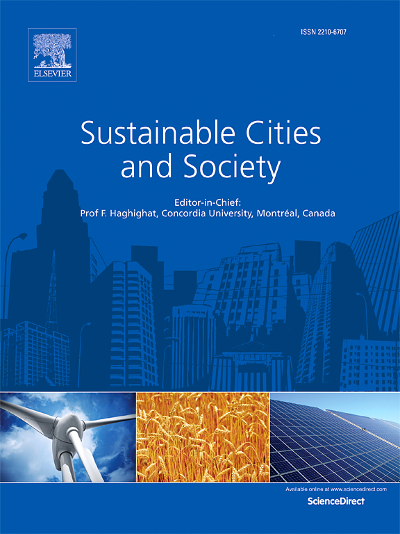
In Sustainable Cities and Society
Author:
Lei
Ma
Guoan
Huang
Zhenjie
Chen
Manchun
Li
Ziyun
Yan
Wenfeng
Zhan
Heng
Lu
Weqiang
He
Dongjie
Lan
Assessing heat-related health risks is important for sustainable urban development. Although fine-scale information (e.g., at the community/neighborhood or city block level) is ideal for identifying and mitigating these risks, previous studies have preferred to work at the administrative unit level. High-resolution Local Climate Zone (LCZ) maps, i...
Peer-reviewed Article
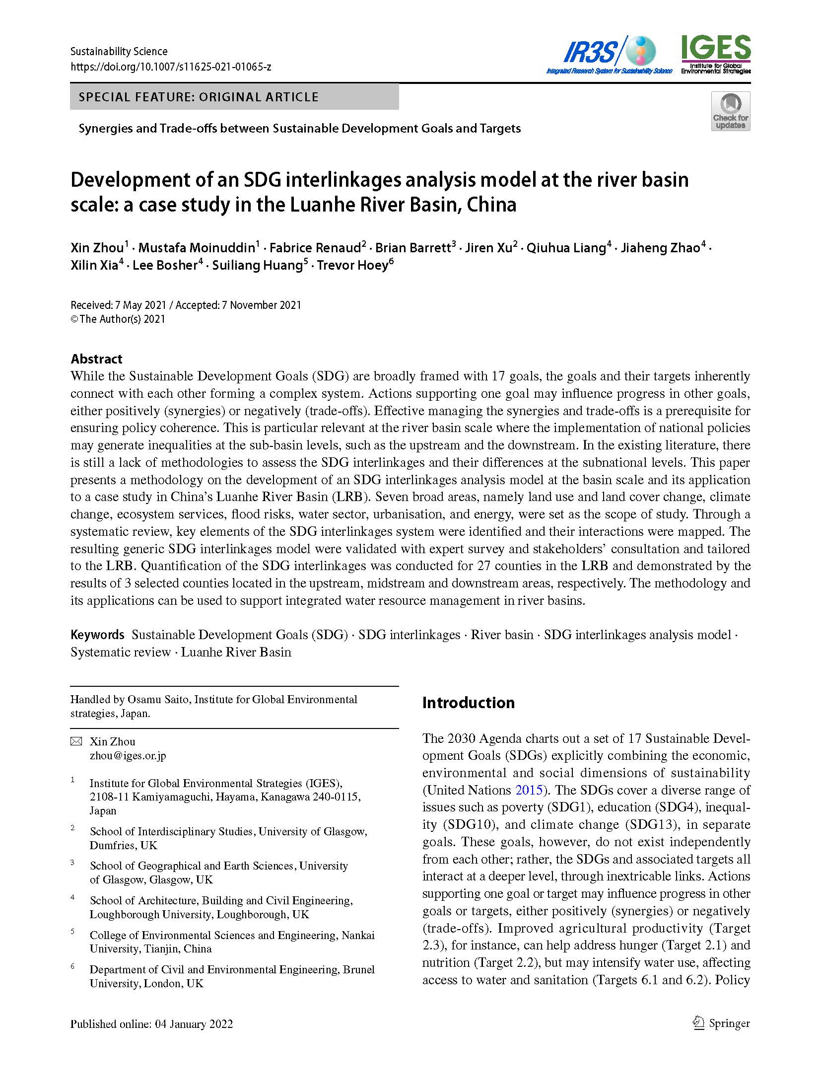
In Sustainability Science
Author:
Fabrice
Renaud
Brian
Barrett
Jiren
Xu
Qiuhua
Liang
Jiaheng
Zhao
Xilin
Xia
Lee
Bosher
Suiliang
Huang
Trevor
Hoey
While the Sustainable Development Goals (SDG) are broadly framed with 17 goals, the goals and their targets inherently connect with each other forming a complex system. Actions supporting one goal may influence progress in other goals, either positively (synergies) or negatively (trade-offs). Effective managing the synergies and trade-offs is a...
Policy Report
Author:
Bruno
Yamanaka
Fernanda
Iwasaka
Larissa
Kuroki
Beatriz
Duarte
Francisco Javier
Contreras Pineda
Flora Lyn
de Albuquerque Fujiwara
Victor
Silva
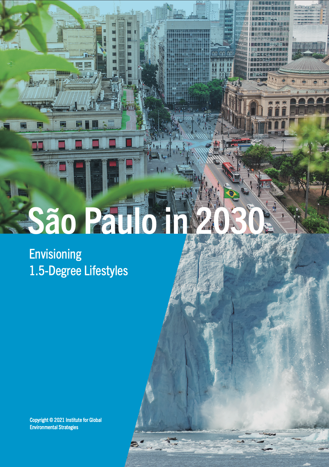
'Sao Paulo in 2030: Envisioning 1.5-Degree Lifestyles' shares findings of the ‘Envisioning Future Low-Carbon Lifestyles and Transitioning Instruments’ demonstration project, 2019-2021. This project was implemented under the United Nations’ One Planet network and funded by the Government of Japan through its contribution to the 10YFP Trust Fund...
Keywords:
Peer-reviewed Article
In Remote Sensing
Author:
Shahab
Jozdani
Dongmei
Chen
Wenjun
Chen
Sylvain
Leblanc
Christian
Prévost
Julie
Lovitt
Liming
He
Lichen is an important food source for caribou in Canada. Lichen mapping using remote sensing (RS) images could be a challenging task, however, as lichens generally appear in unevenly distributed, small patches, and could resemble surficial features. Moreover, collecting lichen labeled data (reference data) is expensive, which restricts the...
Peer-reviewed Article
In Remote Sensing
Author:
Dai
Xiaoai
Penglan
Luo
Kai
Yang
Linxin
Dong
Qiang
Wang
Chao
Liu
Naiwen
Li
Heng
Lu
Lei
Ma
Zhengli
Yang
Yuanzhi
Yao
Research on the service values of urban ecosystems is a hot topic of ecological studies in the current era of rapid urbanization. To quantitatively estimate the ecosystem service value in Chengdu, China from the perspectives of natural ecology and social ecology, the technologies of remote sensing (RS) and geographic information system (GIS) are...
Discussion Paper
Our lifestyles, through the impacts of our day-to-day activities such as eating, moving and commuting, heating and cooling our homes, caring, working, and so on, have become major threats to the sustainability of the environment. While continued economic growth and urbanisation in many countries are expected, it is imperative to consider how we...
Peer-reviewed Article
In Remote Sensing
Author:
Shahab
Jozdani
Dongmei
Chen
With the advent of high-spatial resolution (HSR) satellite imagery, urban land use/land cover (LULC) mapping has become one of the most popular applications in remote sensing. Due to the importance of context information (e.g., size/shape/texture) for classifying urban LULC features, Geographic Object-Based Image Analysis (GEOBIA) techniques are...
Report Chapter
Author:
Michael
Lettenmeier
Viivi
Toivio
This report demonstrates that changes in consumption patterns and dominant lifestyles are a critical and integral part of the solutions package to addressing climate change. The report fills a gap in the existing research by establishing global targets for lifestyle carbon footprints, examining current consumption patterns and their impacts on...
Issue Brief
Author:
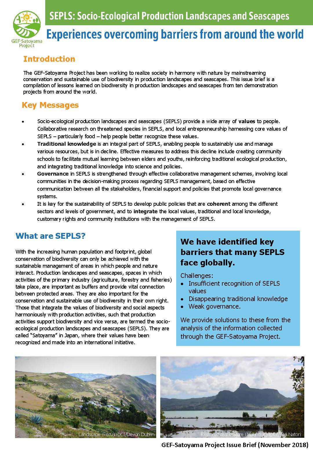
The GEF-Satoyama Project has been working to realize society in harmony with nature by mainstreaming conservation and sustainable use of biodiversity in production landscapes and seascapes. This issue brief is a compilation of lessons learned on biodiversity in production landscapes and seascapes from ten demonstration projects from around the...
Peer-reviewed Article
In Remote Sensing
Author:
Stefanos
Georganos
Tais
Grippa
Moritz
Lennert
Eléonore
Wolff
To classify Very-High-Resolution (VHR) imagery, Geographic Object Based Image Analysis (GEOBIA) is the most popular method used to produce high quality Land-Use/Land-Cover maps. A crucial step in GEOBIA is the appropriate parametrization of the segmentation algorithm prior to the classification. However, little effort has been made to automatically...