Results 1 - 10 of 17 (Sorted by date)
Peer-reviewed Article
In Sustainability
Author:
Chrismas
Uchiyama
Kaoru
Ichikawa
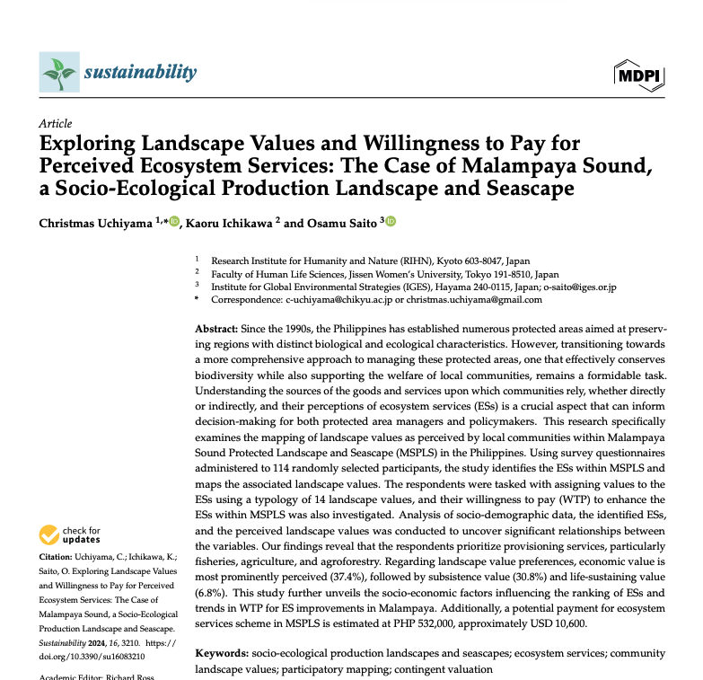
Since the 1990s, the Philippines has established numerous protected areas aimed at preserving re-gions with distinct biological and ecological characteristics. However, transitioning towards a more comprehensive approach to managing these protected areas, one that effectively conserves biodiversity while also supporting the welfare of local...
Peer-reviewed Article
In International Journal of Applied Earth Observation and Geoinformation
Author:
Damasa B.
Magcale-Macandog
Ronald C.
Estoque
Masato
Hayashi
Takeo
Tadono
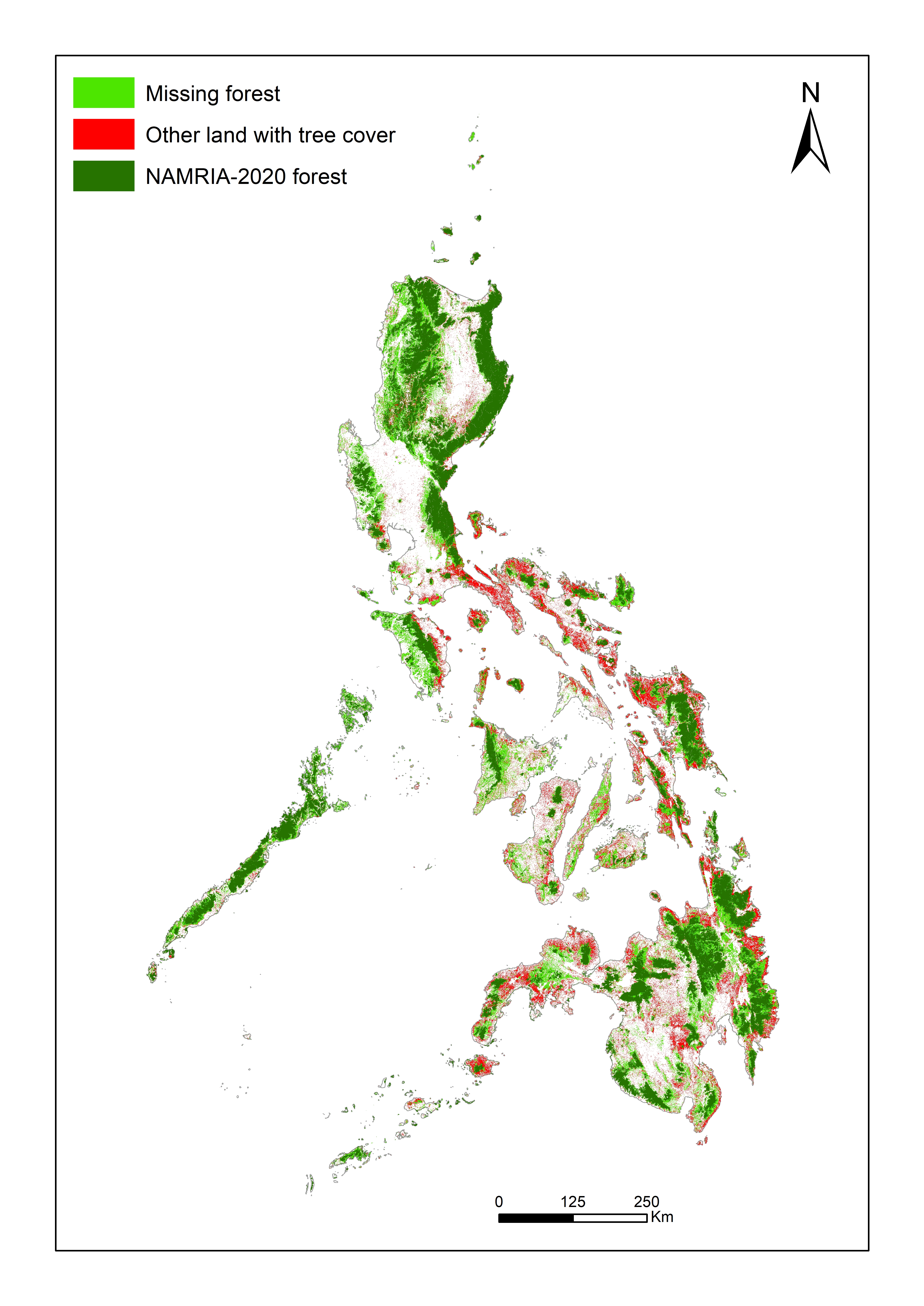
National monitoring of forests is essential for tracking progress towards various global environmental goals, including those of the Kunming-Montreal Global Biodiversity Framework and the Paris Agreement. Inconsistent national definitions of “forest”, however, can complicate the tracking of global progress towards achieving these goals. The FAO’s...
Peer-reviewed Article
In Remote Sensing
Author:
Shahab
Jozdani
Dongmei
Chen
Wenjun
Chen
Sylvain
Leblanc
Julie
Lovitt
Liming
He
Robert
Fraser
Illumination variations in non-atmospherically corrected high-resolution satellite (HRS) images acquired at different dates/times/locations pose a major challenge for large-area environmental mapping and monitoring. This problem is exacerbated in cases where a classification model is trained only on one image (and often limited training data) but...
Peer-reviewed Article
In Remote Sensing
Author:
Shahab
Jozdani
Dongmei
Chen
Wenjun
Chen
Sylvain
Leblanc
Christian
Prévost
Julie
Lovitt
Liming
He
Lichen is an important food source for caribou in Canada. Lichen mapping using remote sensing (RS) images could be a challenging task, however, as lichens generally appear in unevenly distributed, small patches, and could resemble surficial features. Moreover, collecting lichen labeled data (reference data) is expensive, which restricts the...
Research Report
Author:
Adcharaporn
Pagdee
Canesio D
Predo
Cossey K.
Yosi
Stewart
Serawe
Mark
Mameek Winai
Isao
Endo
Although it is widely acknowledged that forests provide critical ecosystem services for human survival and well-being, in the Asia-Pacific region forests are being converted to other land uses and degraded at alarming rates. One underlying factor for this destruction of forests is market failure. Forests are cleared for other land uses or degraded...
Peer-reviewed Article
In Remote Sensing
Author:
Shahab
Jozdani
Dongmei
Chen
With the advent of high-spatial resolution (HSR) satellite imagery, urban land use/land cover (LULC) mapping has become one of the most popular applications in remote sensing. Due to the importance of context information (e.g., size/shape/texture) for classifying urban LULC features, Geographic Object-Based Image Analysis (GEOBIA) techniques are...
Peer-reviewed Article
In Sustainable Cities and Society
Author:
Damasa B.
Magcale-Macandog
Milben A.
Bragais
Paula B
Macandog
Literature suggests a significant potential for synergies among climate change adaptation and mitigation (CCA & M) policies, especially in urban areas. However, the understanding of how best to integrate CCA &M is limited despite the fact that there is an increasing interest, particularly in Southeast Asian countries, in achieving the integration...
Peer-reviewed Article
In Computers, Environment and Urban Systems
Author:
Kotaro
Iikuka
Milben
Bragais
Damasa B.
Magcale-Macandog
Land cover change (LCC) can have a significant impact on human and environmental well-being. LCC maps derived from historical remote sensing (RS) images are often used to evaluate the impacts of past LC changes and to construct models to predict future LC changes. Free moderate spatial resolution (~30 m) optical and synthetic aperture radar (SAR)...
Data or Tool
This dataset contains supplementary material for the journal paper by Johnson et al. (2017). In the paper, OpenStreetMap crowdsourced data was used in combination with different types of satellite imagery to identify and map land cover changes in the Laguna de Bay area of the Philippines. The dataset provides the training data (derived from the...