Results 1 - 10 of 28 (Sorted by date)
Research Report
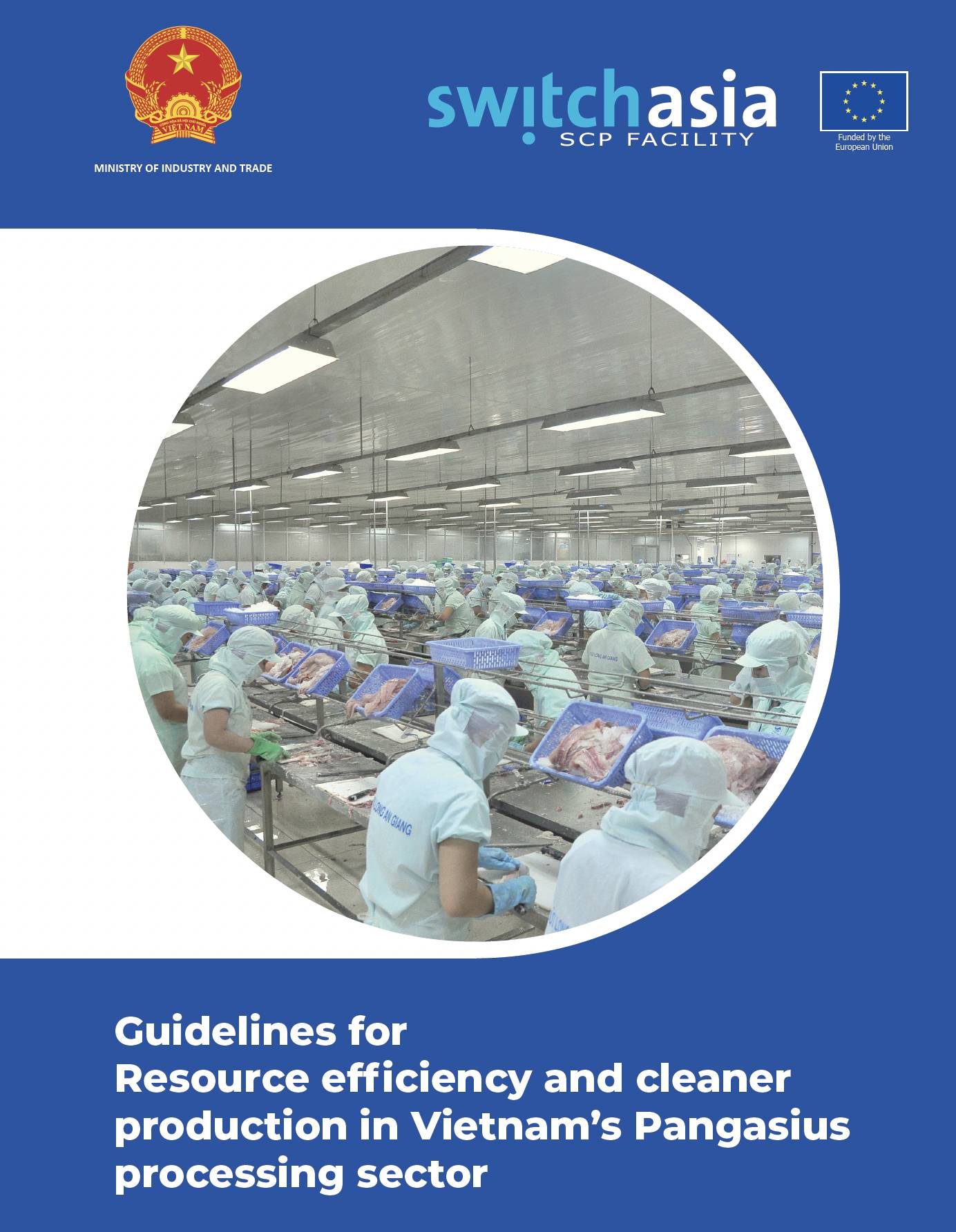
The objective of this Guideline is to provide a systems approach to sustainable consumption and production (SCP) in the seafood sector in Vietnam that considers all stages of the production chain. SCP is conceived as a crucial framework for achieving the social and economic benefits, and minimizing the environmental burden, of Vietnam’s seafood...
Technical Report
The Guidelines for Resource efficiency and cleaner production in Vietnam's Pangasius processing sector were developed within the framework of technical assistance of SWITCH-Asia provided to the Ministry of Industry and Trade of Vietnam, through the Programme of Sustainable Production and Consumption (SCP Facility), which is funded by the European...
Policy Report
Starting in August 2019, the SWITCH Asia SCP Facility has provided technical support to Vietnam’s Ministry of Industry and Trade (MoIT) for development of the National Action Plan on Sustainable Consumption and Production (2021.2030) (NAP on SCP). The SCP Facility established a team of international and national experts to conduct an assessment on...
Policy Report
本書は 北九州市の海外水ビジネスの展開状況をまとめたものである。 第 1 章で海外水ビジネス市場の動向と北九州市の国際協力の歩みについて触れ、第 2 章で 100 年以上の歴史を有する北九州市の上下水道がどのように整備されてきたかを振り返り、第 3 章では北九州市のカンボジアとベトナムでの海外展開の事例を詳述し、第 4 章では海外展開を進める市内企業 4 社に焦点を当ててその展開のアプローチを紹介し、最後の第 5 章において北九州市から海外に拡がる水ビジネスの今後について考察する構成となっている。 なお、本書は、北九州市産業技術保存継承センター(北九州イノベーションギャラリー)の調査研究事業の一環で作成されたものである。
Policy Report
Author:
Jose
Domenech
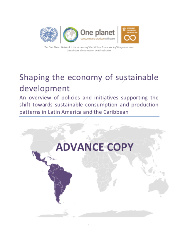
This report presents an overview of policies and initiatives related to sustainable consumption and production advanced by the governments of the Latin American and Caribbean region. Although not pretending to present an exhaustive overview, the report was developed based on extensive literature review as well as on the results of a pilot survey...
Peer-reviewed Article
In Applied Geography
Author:
Kotaro
IIZUKA
We use crowdsourced GIS data from OpenStreetMap to help automate the mapping of land cover in Landsat satellite imagery. The OpenStreetMap data had limited area coverage, but was useful for building a model which could classify land cover in the other areas.
Peer-reviewed Article
In ISPRS International Journal of Geo-Information
Author:
Milben
BRAGAIS
MAGCALE-MACANDOG Damasa
MACANDOG Paula Beatrice
We developed a method for mapping residential areas using freely available satellite imagery. The resultant residential area map can be used for risk assessment (e.g. to estimate the population living in a flood-prone area). Our method can be applied for flood risk assessment in other watersheds in the future.
Peer-reviewed Article
In Applied Geography
This study provides a computationally-simple method to annually update existing national forest maps and model future forest change. It involves integrating national forest maps and global tree cover maps to monitor annual forest change, and then modeling future change by linear extrapolation of the historical trend.
Peer-reviewed Article
In ISPRS International Journal of Geo-Information
A new method was developed for mapping forest, agricultural, and urban land cover using remote sensing imagery. It is designed to better detect small land cover objects (e.g. small forest or agricultural patches) and monitor their change (e.g. fine-scale deforestation) using freely-available satellite imagery.
Peer-reviewed Article
In ISPRS International Journal of Geo-Information
This study evaluated the effects of image pansharpening on Vegetation Indices (VIs) in an agricultural area of Thailand, and found that pansharpening was able to downscale single-date and multi-temporal VI data without introducing significant distortions. The downscaled (15m resolution) VI values can be used for estimating above-ground biomass...