Results 1 - 10 of 30 (Sorted by date)
Peer-reviewed Article
In Scientifica
Author:
Rinki
Bhattarai
Binaya Kumar
Mishra
Deepa
Bhattarai
Dipendra
Khatiwada
Gowhar
Meraj
This study assessed the hydropower potential of a mountain watershed within the Sunkoshi River basin in Sindupalchok, Nepal, utilizing Geographic Information Systems (GIS) and the Soil and Water Assessment Tool (SWAT) hydrological model. Topographical, soil and land use, meteorological, and discharge data were employed to characterize the study...
Peer-reviewed Article
In Arabian Journal of Geosciences
Author:
Indra Prasad
Timilsina
Binaya Kumar
Mishra
Suresh
Baral
Prakash
KC
Water resources assessment and management in ungauged basins are highly challenging but important task. It requires accurate simulation and estimation of streamflow characteristics. This study focuses on the simulation of rainfall-runoff processes in an ungauged Fusre River basin, a tributary of Seti River basin, Nepal using a semi-distributed...
Peer-reviewed Article
In ISPRS International Journal of Geo-Information
Author:
Fatemeh
Rafiei
Saied
Gharachelou
Saeed
Golian
Climate change and overpopulation have led to an increase in water demands worldwide. As a result, land subsidence due to groundwater extraction and water level decline is causing damage to communities in arid and semiarid regions. The agricultural plain of Samalghan in Iran has recently experienced wide areas of land subsidence, which is...
Peer-reviewed Article
In APN Science Bulletin
Author:
CONSERVATION, RESTORATION AND management of forest resources are critical for addressing climate change. Nationally Determined Contributions (NDCs) are a vehicle for targeted climate actions, including those related to forest management, by countries towards contributing global efforts agreed under the Paris Agreement. Operationalizing climate...
Peer-reviewed Article
In ISPRS International Journal of Geo-Information
Author:
Saeid
Gharechelou
Ryutaro
Tateishi
Josaphat
Sumantyo
Soil moisture is a critical component for Earth science studies, and Synthetic Aperture Radar (SAR) data have high potential for retrieving soil moisture using backscattering models. In this study, polarimetric SAR (PALSAR: Phased Array type L-band Synthetic Aperture Radar) data and polarimetric decompositions including span, entropy/H/alpha, and...
Peer-reviewed Article
In Land
Author:
Saeid
Gharechelou
Ryutaro
Tateishi
In this study, we measured and characterized the relative dielectric constant of mineral soils over the 0.3–3.0 frequency range, and compared our measurements with values of three dielectric constant simulation models (the Wang, Dobson, and Mironov models). The interrelationship between land cover and soil texture with respect to the dielectric...
Peer-reviewed Article
In APN Science Bulletin
Author:
Devesh
Sharma
G.M. Tarekul
Islam
Rabin
Malla
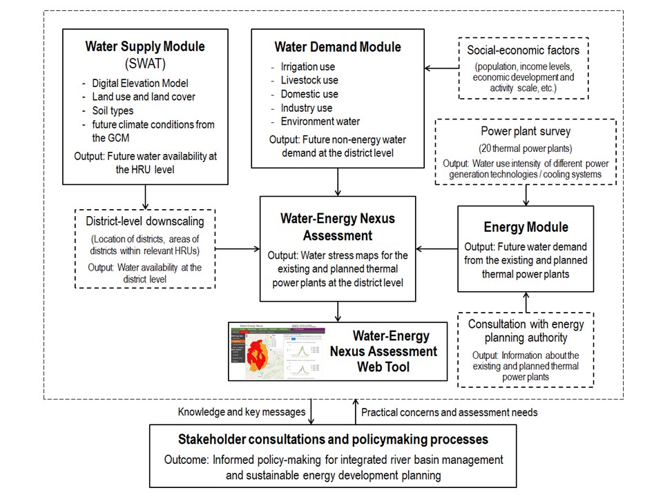
The Ganges basin provides essential water for drinking, irrigation, industrial use and power generation. Global climate change will affect the water availability in the basin and inevitably intensify the competition for water among major users, particularly from thermal power generation. Knowledge on the spatial distribution of water supply-demand...
Research Report
Author:
The Ganges basin provides essential water for drinking, irrigation, industrial use and cooling of power generation facilities. Changes in the water availability induced by global climate change will impact on economic development as well as human life in this basin and beyond. Water competition among major consumers will become fiercer in the...
Peer-reviewed Article
In Remote Sensing
Author:
Saeid
Gharechelou
Ryutaro
Tateishi
Generally, the characterization of land surface roughness is obtained from the analysis of height variations observed along transects (e.g., root mean square (RMS) height, correlation length, and autocorrelation function). These surface roughness measurements are then used as inputs for surface dynamics modeling, e.g., for soil erosion modeling...
Peer-reviewed Article
In Remote Sensing
Author:
Hossein
Vahidi
Brian
Klinkenberg
L. Monika
Moskal
Wanglin
Yan
This paper presents a collective sensing approach that integrates imperfect Volunteered Geographic Information (VGI) obtained through Citizen Science (CS) tree mapping projects with very high resolution (VHR) optical remotely sensed data for low-cost, fine-scale, and accurate mapping of trees in urban orchards. To this end, an individual tree crown...