Results 1 - 7 of 7 (Sorted by date)
Peer-reviewed Article
In ISPRS International Journal of Geo-Information
Author:
Fatemeh
Rafiei
Saied
Gharachelou
Saeed
Golian
Climate change and overpopulation have led to an increase in water demands worldwide. As a result, land subsidence due to groundwater extraction and water level decline is causing damage to communities in arid and semiarid regions. The agricultural plain of Samalghan in Iran has recently experienced wide areas of land subsidence, which is...
Book Chapter
In Blue-Green Infrastructure across Asian Countries: Improving Urban Resilience and Sustainability
Author:
Herlin
Chien
Kensuke
Fukushi
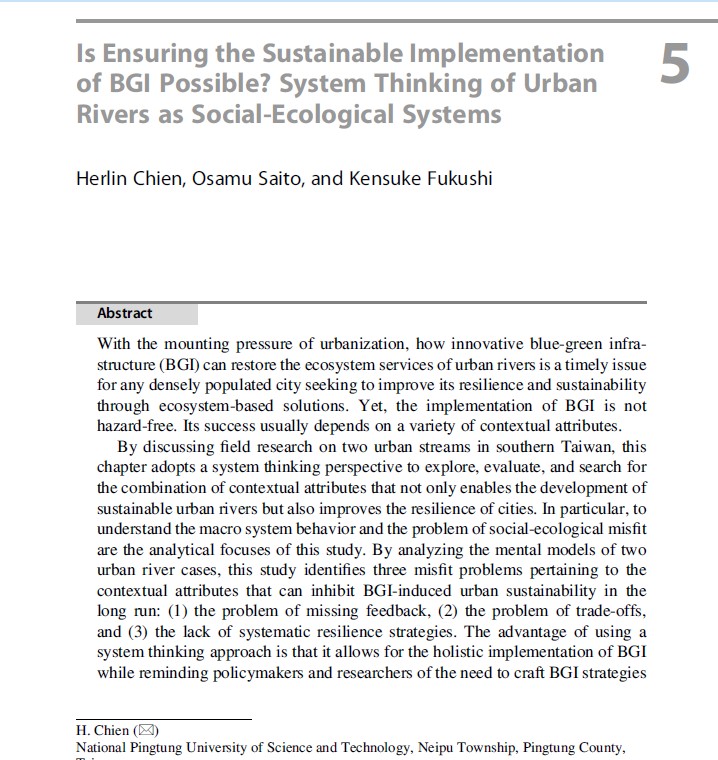
With the mounting pressure of urbanization, how innovative blue-green infrastructure (BGI) can restore the ecosystem services of urban rivers is a timely issue for any densely populated city seeking to improve its resilience and sustainability through ecosystem-based solutions. Yet, the implementation of BGI is not hazard-free. Its success usually...
Peer-reviewed Article
In ISPRS International Journal of Geo-Information
Author:
Saeid
Gharechelou
Ryutaro
Tateishi
Josaphat
Sumantyo
Soil moisture is a critical component for Earth science studies, and Synthetic Aperture Radar (SAR) data have high potential for retrieving soil moisture using backscattering models. In this study, polarimetric SAR (PALSAR: Phased Array type L-band Synthetic Aperture Radar) data and polarimetric decompositions including span, entropy/H/alpha, and...
Peer-reviewed Article
In Land
Author:
Saeid
Gharechelou
Ryutaro
Tateishi
In this study, we measured and characterized the relative dielectric constant of mineral soils over the 0.3–3.0 frequency range, and compared our measurements with values of three dielectric constant simulation models (the Wang, Dobson, and Mironov models). The interrelationship between land cover and soil texture with respect to the dielectric...
Peer-reviewed Article
In Remote Sensing
Author:
Saeid
Gharechelou
Ryutaro
Tateishi
Generally, the characterization of land surface roughness is obtained from the analysis of height variations observed along transects (e.g., root mean square (RMS) height, correlation length, and autocorrelation function). These surface roughness measurements are then used as inputs for surface dynamics modeling, e.g., for soil erosion modeling...
Peer-reviewed Article
In Remote Sensing
Author:
Hossein
Vahidi
Brian
Klinkenberg
L. Monika
Moskal
Wanglin
Yan
This paper presents a collective sensing approach that integrates imperfect Volunteered Geographic Information (VGI) obtained through Citizen Science (CS) tree mapping projects with very high resolution (VHR) optical remotely sensed data for low-cost, fine-scale, and accurate mapping of trees in urban orchards. To this end, an individual tree crown...
Conference Proceeding
Science-Policy Dialogue for South Asia and West Asia subregion on the IPBES Asia-Pacific Regional Assessment
Author:
Asia-Pacific Network for Global Change Research (APN)
From 27-28 February 2019, in Kathmandu, Nepal, a subregional science-policy dialogue for South Asia and West Asia on the IPBES Asia-Pacific Regional Assessment was held in Park Village Hotel, Kathmandu, Nepal, as a part of the “Capacity Building Project for the Implementation of IPBES Asia-Pacific Regional Assessment” funded by the Japan...