Results 1 - 10 of 35 (Sorted by date)
Peer-reviewed Article
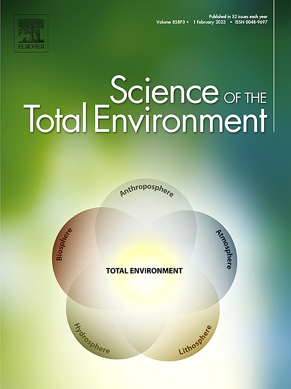
In Science of The Total Environment
Author:
Peiyi
Yin
Xuecao
Li
Jiafu
Mao
Bingyu
Wang
Jianxi
Huang
The response of land surface phenology (LSP) to the urban heat island effect (UHI) is a useful biological indicator for understanding how vegetated ecosystems will be affected by future climate warming. However, vegetation cover in rural areas is often dominated by cultivated land, whose phenological timing is considerably influenced by...
Peer-reviewed Article
In ISPRS International Journal of Geo-Information
Author:
Fatemeh
Rafiei
Saied
Gharachelou
Saeed
Golian
Climate change and overpopulation have led to an increase in water demands worldwide. As a result, land subsidence due to groundwater extraction and water level decline is causing damage to communities in arid and semiarid regions. The agricultural plain of Samalghan in Iran has recently experienced wide areas of land subsidence, which is...
Peer-reviewed Article
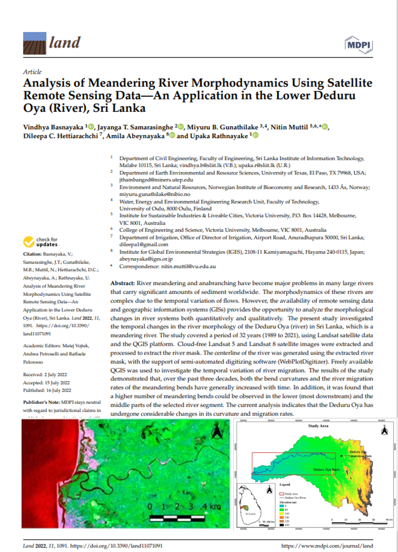
In Land
Author:
Vindhya
Basnayaka
Jayanga
Samarasinghe
Miyuru
Gunathilake
Nitin
Muttil
Dileepa
Hettiarachchi
Upaka
Rathnayake
River meandering and anabranching have become major problems in many large rivers that carry significant amounts of sediment worldwide. The morphodynamics of these rivers are complex due to the temporal variation of flows. However, the availability of remote sensing data and geographic information systems (GISs) provides the opportunity to analyze...
Peer-reviewed Article
In Remote Sensing
Author:
Shahab
Jozdani
Dongmei
Chen
Wenjun
Chen
Sylvain
Leblanc
Julie
Lovitt
Liming
He
Robert
Fraser
Illumination variations in non-atmospherically corrected high-resolution satellite (HRS) images acquired at different dates/times/locations pose a major challenge for large-area environmental mapping and monitoring. This problem is exacerbated in cases where a classification model is trained only on one image (and often limited training data) but...
Peer-reviewed Article
In ISPRS International Journal of Geo-Information
Author:
Saeid
Gharechelou
Ryutaro
Tateishi
Josaphat
Sumantyo
Soil moisture is a critical component for Earth science studies, and Synthetic Aperture Radar (SAR) data have high potential for retrieving soil moisture using backscattering models. In this study, polarimetric SAR (PALSAR: Phased Array type L-band Synthetic Aperture Radar) data and polarimetric decompositions including span, entropy/H/alpha, and...
Peer-reviewed Article
In Remote Sensing
Author:
Shahab
Jozdani
Dongmei
Chen
Wenjun
Chen
Sylvain
Leblanc
Christian
Prévost
Julie
Lovitt
Liming
He
Lichen is an important food source for caribou in Canada. Lichen mapping using remote sensing (RS) images could be a challenging task, however, as lichens generally appear in unevenly distributed, small patches, and could resemble surficial features. Moreover, collecting lichen labeled data (reference data) is expensive, which restricts the...
Peer-reviewed Article
In Land
Author:
Saeid
Gharechelou
Ryutaro
Tateishi
In this study, we measured and characterized the relative dielectric constant of mineral soils over the 0.3–3.0 frequency range, and compared our measurements with values of three dielectric constant simulation models (the Wang, Dobson, and Mironov models). The interrelationship between land cover and soil texture with respect to the dielectric...
Book
Editor:
Using “the sharing paradigm” as a guiding concept, this book demonstrates that “sharing” has much greater potential to make rural society resilient, sustainable and inclusive through enriching all four sharing dimensions: informal, mediated, communal and commercial sharing. The chapters are divided into two parts, one that focuses on case studies...
Peer-reviewed Article
In Remote Sensing
Author:
Shahab
Jozdani
Dongmei
Chen
With the advent of high-spatial resolution (HSR) satellite imagery, urban land use/land cover (LULC) mapping has become one of the most popular applications in remote sensing. Due to the importance of context information (e.g., size/shape/texture) for classifying urban LULC features, Geographic Object-Based Image Analysis (GEOBIA) techniques are...
Issue Brief
Author:
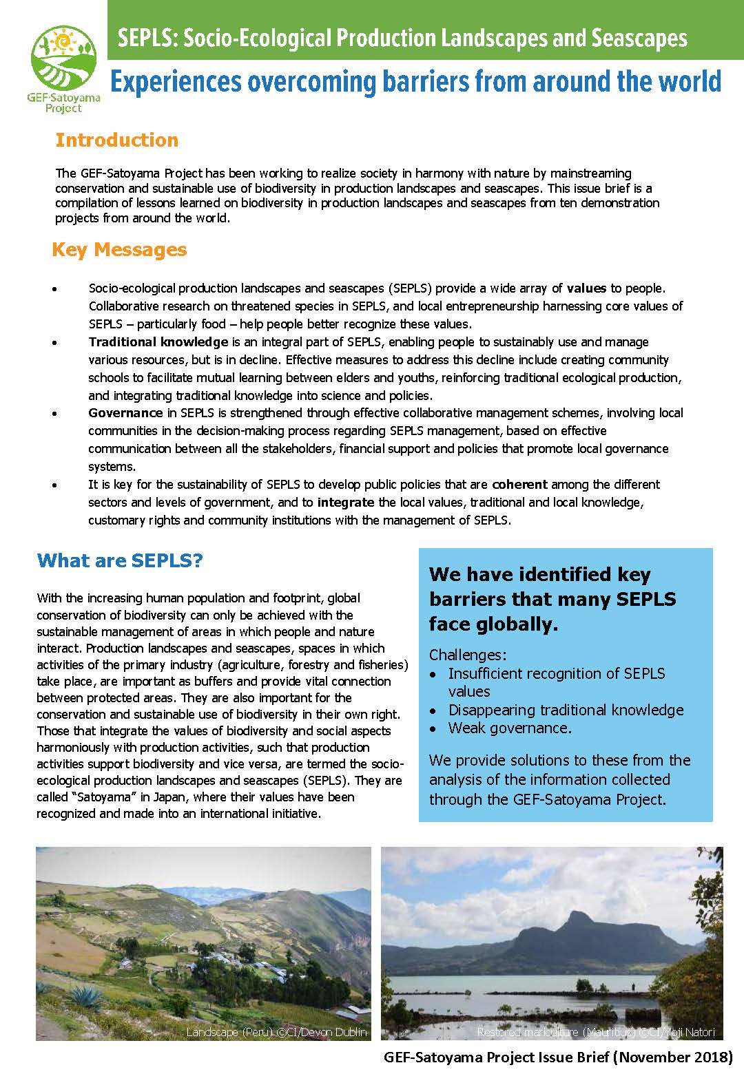
The GEF-Satoyama Project has been working to realize society in harmony with nature by mainstreaming conservation and sustainable use of biodiversity in production landscapes and seascapes. This issue brief is a compilation of lessons learned on biodiversity in production landscapes and seascapes from ten demonstration projects from around the...