Results 1 - 10 of 30 (Sorted by date)
Peer-reviewed Article
In Science of The Total Environment
Author:
Peiyi
Yin
Xuecao
Li
Jiafu
Mao
Bingyu
Wang
Jianxi
Huang
The response of land surface phenology (LSP) to the urban heat island effect (UHI) is a useful biological indicator for understanding how vegetated ecosystems will be affected by future climate warming. However, vegetation cover in rural areas is often dominated by cultivated land, whose phenological timing is considerably influenced by...
Peer-reviewed Article
In Sensors
Author:
Kamran
Ali
Detailed Land-Use and Land-Cover (LULC) information is of pivotal importance in, e.g., urban/rural planning, disaster management, and climate change adaptation. Recently, Deep Learning (DL) has emerged as a paradigm shift for LULC classification. To date, little research has focused on using DL methods for LULC mapping in semi-arid regions, and...
Peer-reviewed Article
In Remote Sensing
Author:
Shahab
Jozdani
Dongmei
Chen
Wenjun
Chen
Sylvain
Leblanc
Julie
Lovitt
Liming
He
Robert
Fraser
Illumination variations in non-atmospherically corrected high-resolution satellite (HRS) images acquired at different dates/times/locations pose a major challenge for large-area environmental mapping and monitoring. This problem is exacerbated in cases where a classification model is trained only on one image (and often limited training data) but...
Peer-reviewed Article
In Remote Sensing
Author:
Shahab
Jozdani
Dongmei
Chen
Wenjun
Chen
Sylvain
Leblanc
Christian
Prévost
Julie
Lovitt
Liming
He
Lichen is an important food source for caribou in Canada. Lichen mapping using remote sensing (RS) images could be a challenging task, however, as lichens generally appear in unevenly distributed, small patches, and could resemble surficial features. Moreover, collecting lichen labeled data (reference data) is expensive, which restricts the...
Book
Editor:
Using “the sharing paradigm” as a guiding concept, this book demonstrates that “sharing” has much greater potential to make rural society resilient, sustainable and inclusive through enriching all four sharing dimensions: informal, mediated, communal and commercial sharing. The chapters are divided into two parts, one that focuses on case studies...
Peer-reviewed Article
In Remote Sensing
Author:
Shahab
Jozdani
Dongmei
Chen
With the advent of high-spatial resolution (HSR) satellite imagery, urban land use/land cover (LULC) mapping has become one of the most popular applications in remote sensing. Due to the importance of context information (e.g., size/shape/texture) for classifying urban LULC features, Geographic Object-Based Image Analysis (GEOBIA) techniques are...
Issue Brief
Author:
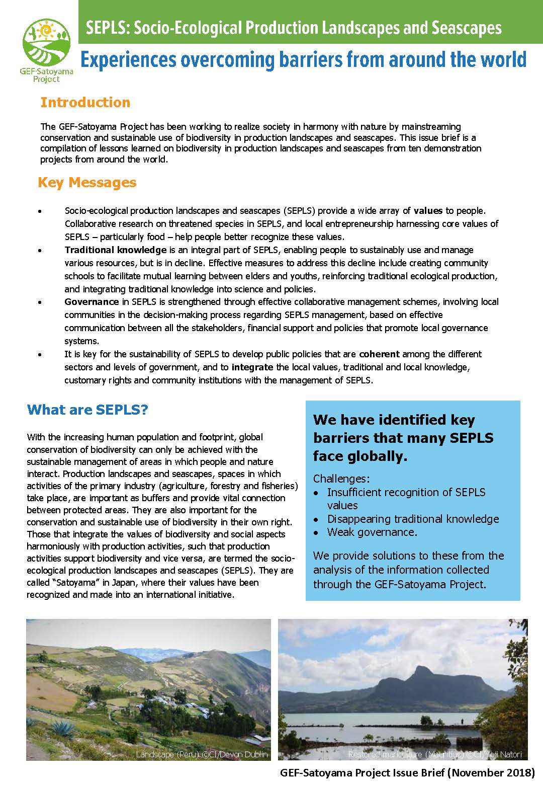
The GEF-Satoyama Project has been working to realize society in harmony with nature by mainstreaming conservation and sustainable use of biodiversity in production landscapes and seascapes. This issue brief is a compilation of lessons learned on biodiversity in production landscapes and seascapes from ten demonstration projects from around the...
Research Report
APN Research Report
Author:
Sangam
Shrestha
Vishnu
Pandey
Oranuj
Lorphensri
Dian
Sisinggih
Bui Tran
Vuong
Muhammad
Basharat
Today, 54% of the world’s population live in urban areas, a proportion that is expected to increase to 66% by 2050. Major cities and municipalities in the region rely either fully or partially on groundwater. Four highly relevant Asian cities (Bangkok, Bandung, Ho Chi Minh and Lahore) were selected which bear groundwater dependency in the range of...
Book
日本の「レンジャー」が体験したアメリカの国立公園での長期滞在ボランティア。それは、それまでの“アメリカの国立公園”観を覆す衝撃的な体験だった。国立公園到着の翌日から始まった体当たりのフィールドワーク、2度のアメリカ横断。2つの国立公園での長期研修と首都ワシントンでの内務省魚類野生生物局での実務研修を通じてようやく理解できたアメリカの自然保護政策とは!? ボランティアの活用、モニタリング調査、イメージ戦略など、国立公園を訪れただけではわからない舞台裏を、日米の国立公園と国立野生生物保護区の比較しながら描き出す。国立公園ボランティアへの応募や国立公園での生活の様子などもまじえながら、アメリカの国立公園でのボランティアの役割や活躍の様子なども紹介。なお...
Peer-reviewed Article
In ISPRS International Journal of Geo-Information
A new method was developed for mapping forest, agricultural, and urban land cover using remote sensing imagery. It is designed to better detect small land cover objects (e.g. small forest or agricultural patches) and monitor their change (e.g. fine-scale deforestation) using freely-available satellite imagery.