Results 21 - 30 of 68 (Sorted by date)
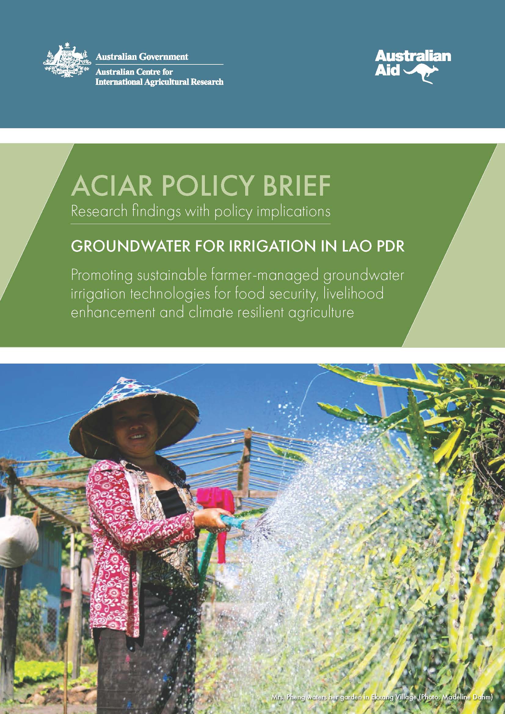
Policy Brief
ACIAR Policy Brief
Author:
ACIAR
Groundwater can provide irrigation for rural communities where surface water is absent or unreliable. Technical, institutional and capacity limits have prevented rural communities from using groundwater for irrigation, and researchers have not demonstrated how to extract and use groundwater effectively for agriculture. A recent Australian-funded...
Peer-reviewed Article
In Applied Geography
Author:
Kotaro
IIZUKA
We use crowdsourced GIS data from OpenStreetMap to help automate the mapping of land cover in Landsat satellite imagery. The OpenStreetMap data had limited area coverage, but was useful for building a model which could classify land cover in the other areas.
Peer-reviewed Article
In ISPRS International Journal of Geo-Information
Author:
Milben
BRAGAIS
MAGCALE-MACANDOG Damasa
MACANDOG Paula Beatrice
We developed a method for mapping residential areas using freely available satellite imagery. The resultant residential area map can be used for risk assessment (e.g. to estimate the population living in a flood-prone area). Our method can be applied for flood risk assessment in other watersheds in the future.
Peer-reviewed Article
In Asian Journal of Environment and Disaster Management
The government of Indonesia has been promoting the system of rice intensification with emphasis on resource use efficiency and climate change adaptation benefits. One question remained to be seen is how the system of rice intensification compares with other technologies such as zero tillage, composting, and leaf color charts which have also been...
Policy Report
APAN-IGES Research Report
Author:
Prof. Dr. Kang Kroesna, RUA
Pilot training programs were conducted in Cambodia for province and sub-province level government officers of the agriculture department to test the effectiveness of draft training modules on climate change adaptation. The pilot tested training modules include ‘Agriculture extension staffs at provincial level’ and ‘District and commune officers’...
Book Chapter
In Crop Adaptation to Climate Change
Climate change poses a serious threat to developmental aspirations of most countries in Southeast Asia. The historical observations indicated general warming over the entire region with variations in the degree of warming and localized impacts. The Mekong River basin, which is the largest basin in the region that provides livelihoods for millions...
Book Chapter
In Climate Change Adaptation and Disaster Risk Reduction: Asian Perspectives
Cambodia is one of the most vulnerable countries to climatic and non-climatic vagaries in the Southeast Asia. Annual river floods along the Tonle Sap and Mekong Rivers are more common during monsoon season and are the most important developmental concerns in the region. Cambodia has put in place the National Committee for Disaster Management that...
Report Chapter
In Is Indonesia in a Good Position to Achieve Sustainable Low Carbon Development? Opportunities, Potentials and Limitations
Agriculture plays an important role in the national economy and food security of Indonesia. Increasing food production, while not adversely impacting the climate and local environment, is a challenge to be met. Indonesia has set an economy-wide emission reduction target of 20%. This would require rapid and substantial scaling up of mitigation...
Peer-reviewed Article
In Environmental Hazards
Author:
This paper presents a case study of drought risk assessment and management in Svay Rieng province of Cambodia. Drought is a creeping disaster and has debilitating impacts on rural livelihoods and socio-economic conditions. Interviews with local communities, government administration, and non-governmental agencies indicated the lack of livelihood...