Results 1 - 2 of 2 (Sorted by date)
Peer-reviewed Article
In Remote Sensing
Author:
Shahab
Jozdani
Dongmei
Chen
With the advent of high-spatial resolution (HSR) satellite imagery, urban land use/land cover (LULC) mapping has become one of the most popular applications in remote sensing. Due to the importance of context information (e.g., size/shape/texture) for classifying urban LULC features, Geographic Object-Based Image Analysis (GEOBIA) techniques are...
Presentation
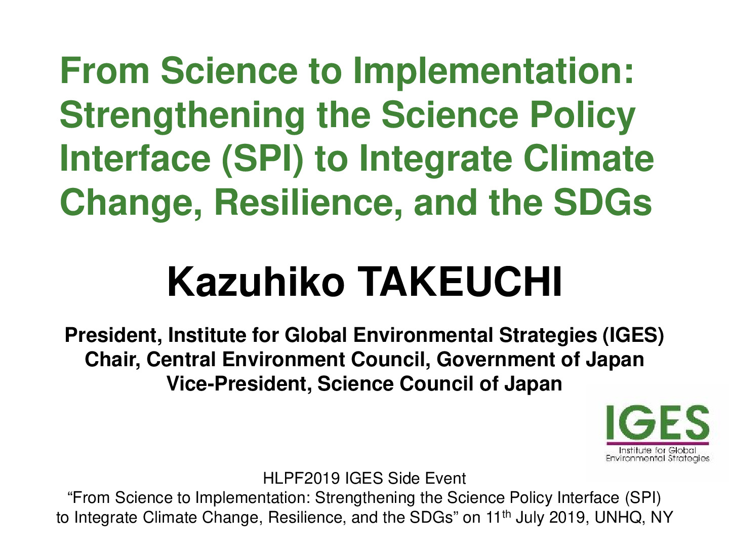
HLPF2019 IGESSide Event “From Science to Implementation: Strengthening the Science Policy Interface (SPI) to Integrate Climate Change, Resilience, and the SDGs” on 11thJuly 2019, UNHQ, NY