This study provides a computationally-simple method to annually update existing national forest maps and model future forest change. It involves integrating national forest maps and global tree cover maps to monitor annual forest change, and then modeling future change by linear extrapolation of the historical trend.
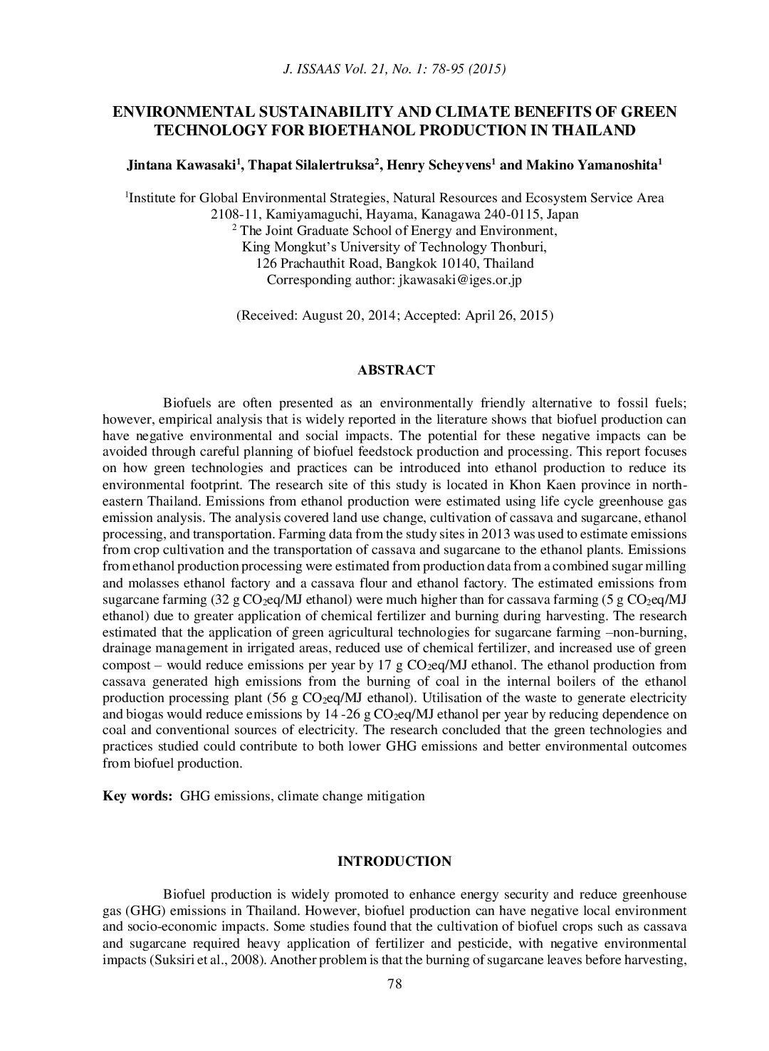
Biofuels are often presented as an environmentally friendly alternative to fossil fuels, however, empirical analysis that is widely reported in the literature shows that biofuel production can have negative environmental and social impacts. The potential for these negative impacts can be avoided through careful planning of biofuel feedstock...
Based on the study conducted in 8 countries in Asia, this report identifies challenges and barriers in conducting, implementing the Technology Needs Assessment (TNA) and Technology Action Plan (TAP). This Technology Needs Assessment Analysis (TNA) Study was commissioned by the United Nations Environment Programme Regional Office for Asia Pacific...
This draft report documents progress made on the “Low Carbon Technology Transfer Preparedness Database Project”, supported by the Ministry of Environment Japan in FY 2014. The report’s key focus lies on documenting subnational data gaps, sources and access issues whilst also describing contributions made to international processes on data and...
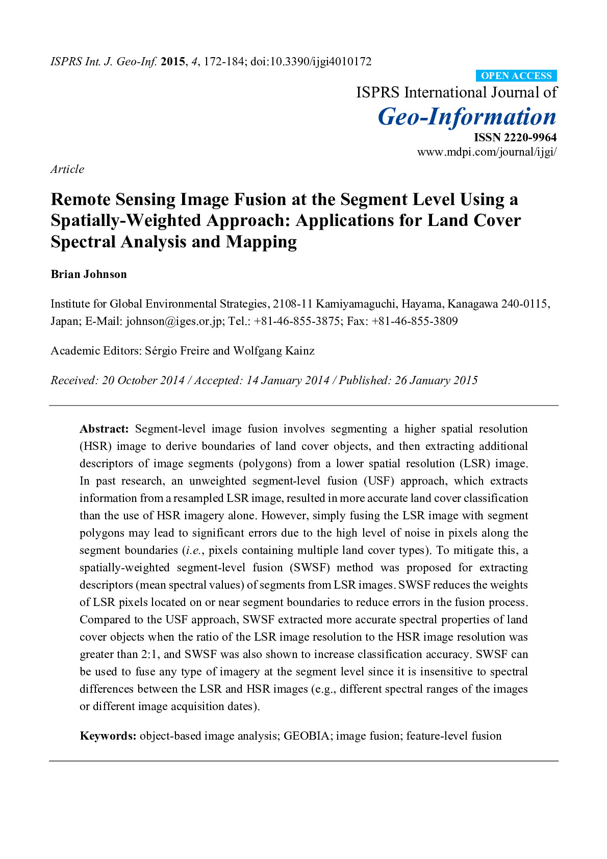
A new method was developed for mapping forest, agricultural, and urban land cover using remote sensing imagery. It is designed to better detect small land cover objects (e.g. small forest or agricultural patches) and monitor their change (e.g. fine-scale deforestation) using freely-available satellite imagery.