
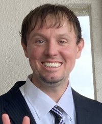
Senior Research Manager
Research Topics & Areas of Expertise
Geographic Information Systems (GIS), Remote Sensing, Spatial Modeling, and Data Mining for urban and environmental analysis and planning. Some of my recent research has focused on mapping urban land cover (green space, impervious surfaces, etc.) and monitoring forest health using fine resolution satellite imagery.
Education
Ph.D. in Geosciences, Florida Atlantic University, USA (2012).
M.A. in Geography, Florida Atlantic University, USA (2007).
Results 151 to 160 of 177 (Sorted by date)
Presentation
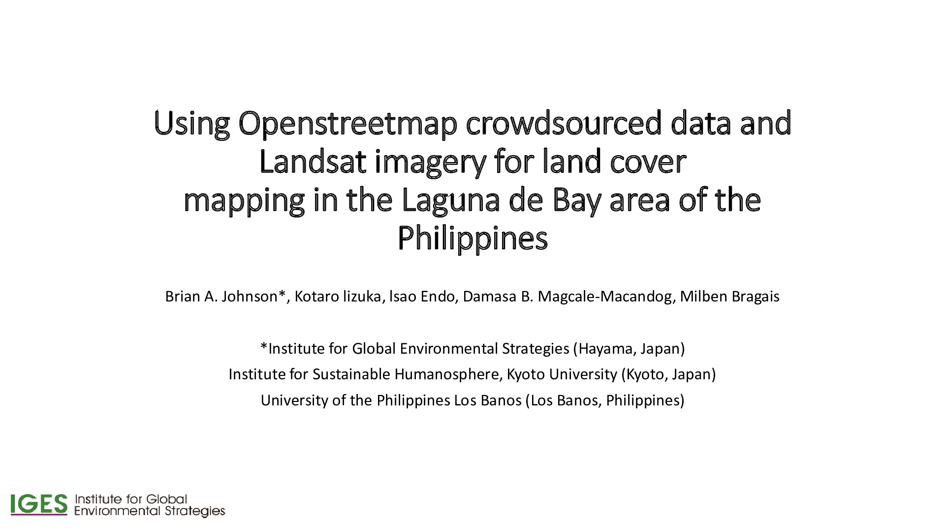
The 18th Symposium on Environmental Remote Sensing (in Chiba City, Japan)
We developed a fast method for land cover mapping using satellite imagery and crowdsourced geographic data (land use polygon data). The method is less time- and labor-intensive than traditional land cover mapping methods because the crowdsourced data substitutes for training data collected the traditional way (through field survey or visual image...
Peer-reviewed Article
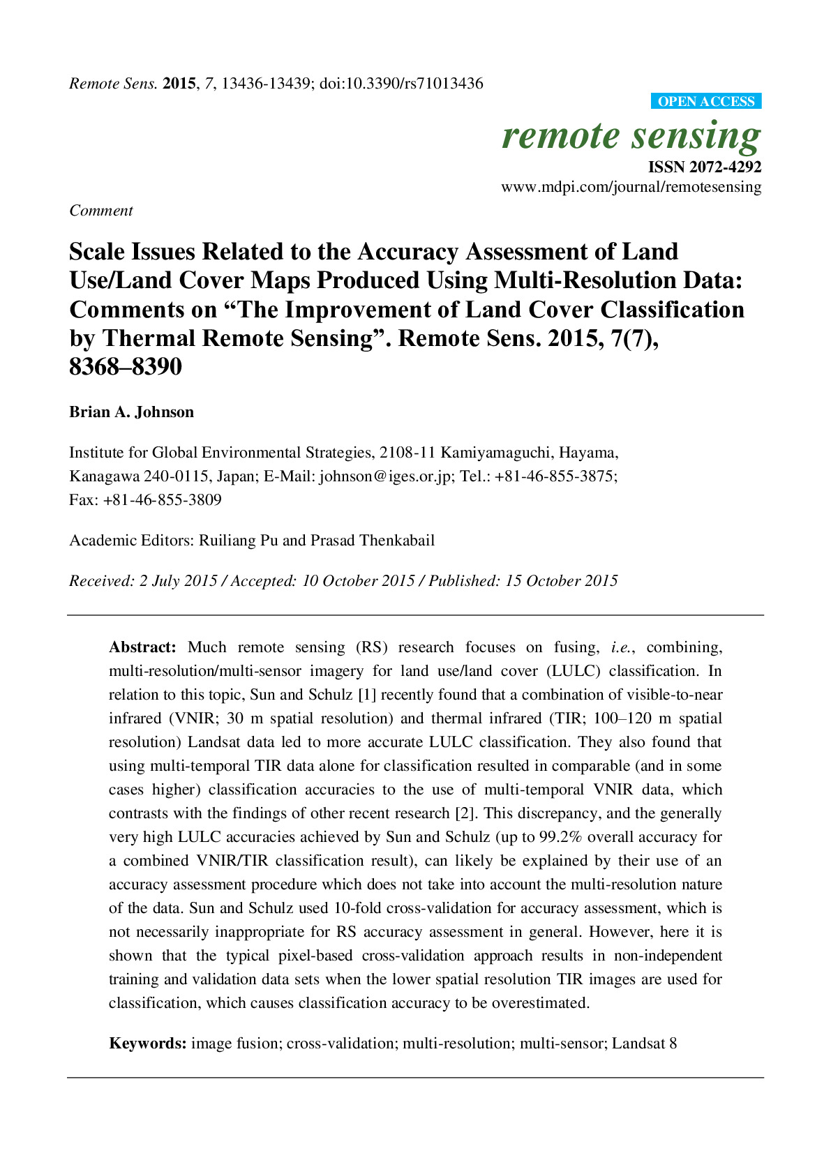
In Remote Sensing
This paper demonstrates the importance of considering scale issues when estimating the accuracy of land use/land cover maps, particularly when satellite images having different spatial resolutions (i.e. pixel sizes) are used in combination to generate the land use/land cover maps. The results are important for creators and users of these types of...
Presentation

Lake Laguna Development Authority Consultation Meeting (Manila, Philippines)
CO2 emissions from expected land use change were calculated using GIS techniques. ~500,000 tons CO2 emissions expected by 2025 under the BAU land use plan.
Peer-reviewed Article

In Applied Geography
This study provides a computationally-simple method to annually update existing national forest maps and model future forest change. It involves integrating national forest maps and global tree cover maps to monitor annual forest change, and then modeling future change by linear extrapolation of the historical trend.
Data or Tool

UCI Machine Learning Repository
This data set (http://archive.ics.uci.edu/ml/datasets/Forest+type+mapping) contains training and testing data from a remote sensing study which mapped different forest types based on their spectral characteristics at visible-to-near infrared wavelengths, using ASTER satellite imagery. The data set be used to evaluate the performance of different...
Peer-reviewed Article
In International Journal of Remote Sensing
A remote sensing-based method was developed for mapping debris-covered glaciers. It is significant because it is difficult to get an accurate estimate of glacier extent in areas with rocky debris, but accurate glacier maps are important for monitoring impacts of climate change and for water resource management in arid regions.
Peer-reviewed Article
Commissioned Report
Peer-reviewed Article
In In APN Science Bulletin, Asia-Pacific Network for Global Change Research
Results 1 to 2 of 2 (Sorted by date)
Project
Updated: March 2025
Environment Research and Technology Development Fund 1CN-2206 (FY2022-2024) - Research on the national long-term roadmap to synergise mitigation and adaptation towards a net zero and resilient ASEAN
Towards the establishment of a net-zero and resilient ASEAN Community as indicated by the ASEAN Climate Vision 2050, IGES is conducting a study on the formulation of a long-term roadmap to promote integrated transition of mitigation and adaptation in...
Project
Updated: July 2026
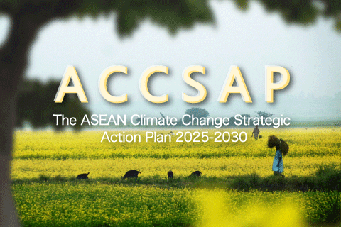
The ASEAN Climate Change Strategic Action Plan 2025-2030 Project
The ASEAN Climate Change Strategic Action Plan (ACCSAP) 2025-2030 serves as the roadmap for addressing climate change in ASEAN up to 2030. IGES contributed to the development of the “ASEAN State of Climate Change Report (ASCCR)” in 2021, the first...