- English


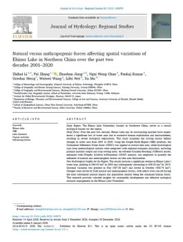
Study Region: The Ebinur Lake Watershed, located in Northwest China, serves as a crucial
ecological barrier for the region.
Study Focus: Over the past two decades, Ebinur Lake and its surrounding marshes have experienced
a significant loss of water area due to excessive human exploitation and encroachment,
resulting in severe ecological degradation. This study examines the driving factors behind
changes in water area from 2001 to 2020. Using the Google Earth Engine (GEE) platform, the
Normalised Difference Water Index (NDWI) was applied to extract lake area, while hydrological
data from meteorological stations were integrated with regional economic indicators, including
primary industry output and crop sowing areas. An eXtreme Gradient Boosting (XGBoost) model,
enhanced with SHapley Additive exPlanations (SHAP) analysis, was employed to quantify the
influence of natural and anthropogenic factors on lake area fluctuations.
New Hydrological Insights for the Region: The results indicate a significant decline in Ebinur Lake’s
water area, peaking at 946.32 km² in 2003 and subsequently decreasing to 409.33 km² by 2015.
Seasonal variation was greatest in May (637.35 km²) and lowest in October (480.74 km²).
Changes were driven by both natural and anthropogenic factors, with inflow river run-off having
the most substantial natural impact and population density being the dominant human factor.
This research provides valuable insights for sustainable development and effective ecological
resource management in the Ebinur Lake Watershed.
- English