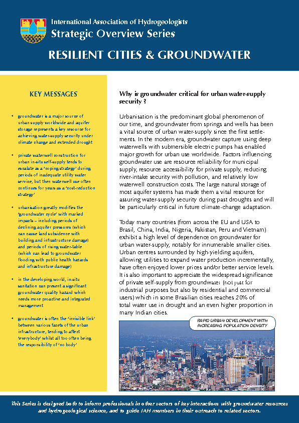
KEY MESSAGES • groundwater is a major source of urban supply worldwide and aquifer storage represents a key resource for achieving water-supply security under climate change and extended drought • private waterwell construction for urban in-situ self-supply tends to escalate as a ‘coping strategy’ during periods of inadequate utility water service...

- Clear all
- Publication Year: (-) 2015
- Research Unit: (-) Adaptation & Water
Results 1 - 10 of 59 (Sorted by date)
This dataset can be used by researchers to test different land use/land cover mapping methods using crowdsourced geographic data and Landsat satellite imagery. The study area is the Laguna de Bay area of the Philippines, and the satellite data is from 2014-2015. This dataset will also be available on the "UCI Machine Learning Repository" (https:/...
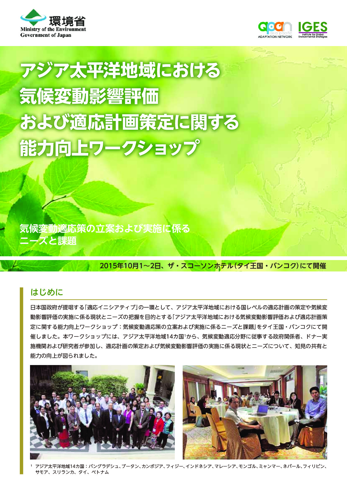
This workshop aimed to identify the status and needs of adaptation planning and climate change impact assessments at the national level.
This report examines whether microfinance in its current forms contributes to household adaptive capacity and how it can do so most effectively. It also discusses how Bangladesh’s well-established microfinance sector can take advantage of its extensive delivery infrastructure and good reputation amongst communities to be more involved in...
This study attempted to assess household level loss and damage resulting from three cyclones –Sidr, Aila and Mahasen – in Khulna, Patuakhali and Satkhira districts for a sample of households, the coping strategies they adopted, the determinants of these coping strategies, and the role of microfinance in coping and adapting in the aftermath of...
This paper examined the role of access to microfinance as an ex-ante measure of income smoothing on the coping strategies of poor households in north-western Bangladesh during the phenomenon of seasonal food insecurity known as monga. The analysis suggests that the nature and intensity of coping strategies adopted by households depends on their...
In ISPRS International Journal of Geo-Information
We developed a method for mapping residential areas using freely available satellite imagery. The resultant residential area map can be used for risk assessment (e.g. to estimate the population living in a flood-prone area). Our method can be applied for flood risk assessment in other watersheds in the future.
In Exposure and Health
Intense agricultural and mining/industrial activities make groundwater quality vulnerable to contaminants. This study conducted in one of the mining areas of Panna district evaluated the factors influencing the groundwater hydrogeochemistry using water quality parameters and multi-isotopic approach considering the fact that groundwater is the only...
Thirteenth ODA evaluation workshop